A winter storm watch is in effect, with several inches of snow possible for the Philly area
Published in News & Features
The big question regarding Sunday’s snow storm threat on Friday not so subtly pivoted from will it happen to how much.
The National Weather Service has issued a winter storm watch starting at 6 a.m. Sunday into Monday morning for the potential of 6 inches of snow or more.
With a surprising level of agreement so far in advance of a first-flake sighting, computer models and their interpreters were seeing the likelihood of a major coastal snowstorm that would affect the I-95 corridor from Washington to Boston — a rarity in recent winters.
The weather service said measurable snow was a near certainty in Philly, with about 40% shot of 6 inches or more and 15% chance of 18 or more.
Gusts to 35 mph and coastal flooding at the Shore also are possible.
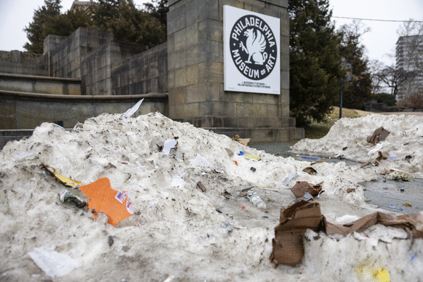
On the plus side for those who would prefer not to be inconvenienced on Sunday and Monday, no ice is in the forecast, and it is highly unlikely that the city would have to spend another $59 million ($100 a household) to attempt to move it all out of the way.
Details remain elusive given that the storm hasn’t yet developed, but based on the available evidence, “It’s going to be a long-duration event,” said Cody Snell, meteorologist with NOAA’s Weather Prediction Center in College Park, Md.
He said snow could linger well into Monday morning, with snow showers possible into the afternoon.
What time would the snow begin in Philly?
Precipitation is expected to begin late in the morning Sunday, said Snell, possibly as a mix of snow and rain that becomes all snow.
Snow may have a hard time sticking during the day, said Tom Kines, senior meteorologist with AccuWeather Inc., since temperatures will be near or slightly above freezing and the late-winter sun will be a factor, even it’s just a rumor in the sky.
Plus the ground won’t be especially cold after a Saturday in which the temperature may approach 50 degrees.
However, the upper air is going to quite cold, Snell said, and when the snow is falling heavily, as it is expected to Sunday night, “it will cool the column.”
He said areas that get caught in heavy snow “bands” would see the highest amounts.
What could go wrong with the forecasts?
Are you new around here?
The storm consists of multiple moving parts, and as it bounds off the Southeast coast it is due to intensify rapidly over the warm Atlantic waters.
Meteorologists advised it was still unclear how intense it would become and what path it would take.
Forecast busts have been known to happen, including a famous one 25 years ago. On a Friday, the weather service warned of a storm of “historic” proportions to begin that Sunday.
What Philly got was about 1.5 inches that fell over three uneventful hours.
This time, however, “confidence is growing” in the forecast, Snell said.
___
©2026 The Philadelphia Inquirer, LLC. Visit at inquirer.com. Distributed by Tribune Content Agency, LLC.


Comments